About Us: The National Centre for Remote Sensing (NCRS), Nigeria
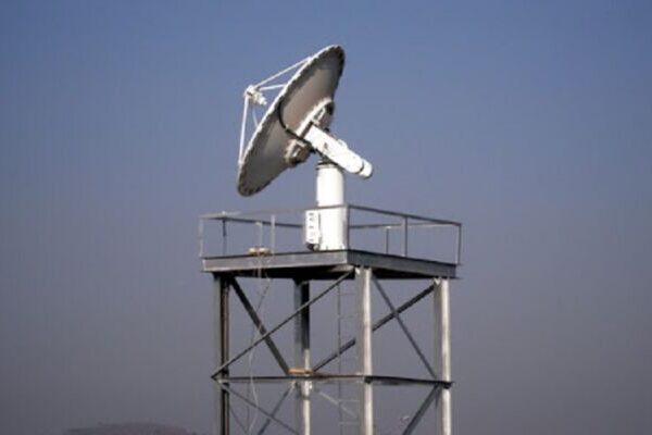
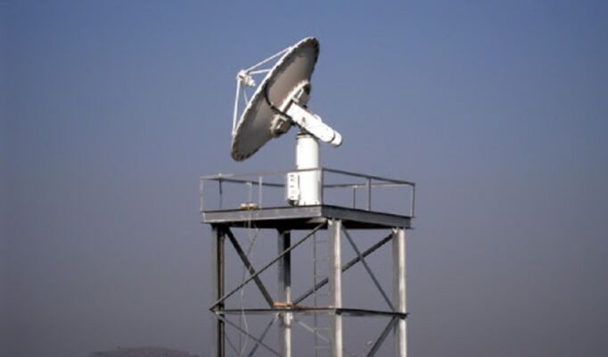
The National Centre for Remote Sensing (NCRS) is a leading institution in Nigeria dedicated to the development and application of remote sensing technologies. Remote sensing involves the use of satellite or aerial sensors to collect and analyze data about the Earth’s surface and environment, providing vital insights without direct physical contact. As part of Nigeria’s broader space science agenda, NCRS plays a critical role in addressing national socio-economic challenges through the effective use of satellite data.
Foundation of Remote Sensing in Nigeria
Remote sensing in Nigeria has its roots in the nation’s strategic vision to harness space-based technologies for sustainable development and national progress. This vision formally took shape with the establishment of the National Space Research and Development Agency (NASRDA) in 1999, which became the primary body responsible for coordinating space science and remote sensing initiatives across the country.
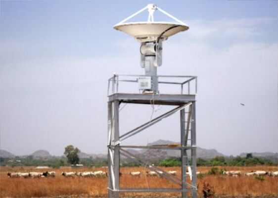
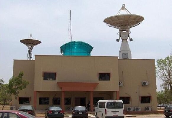
However, Nigeria’s ambitions in remote sensing date back even earlier. The foundation was laid in 1988, when the National Council of Ministers approved the creation of the National Centre for Remote Sensing (NCRS). This pivotal decision marked the beginning of Nigeria’s efforts to utilize satellite-derived data for addressing critical developmental challenges. The NCRS officially commenced operations in October 1995, serving as the country’s first dedicated institution for processing and analyzing satellite imagery.
This early commitment to remote sensing positioned Nigeria as a leader in space technology within Africa, driving innovations in areas such as agricultural productivity, environmental monitoring, disaster management, and sustainable resource planning.
Key Milestones
1. The Launch of NigeriaSat-1
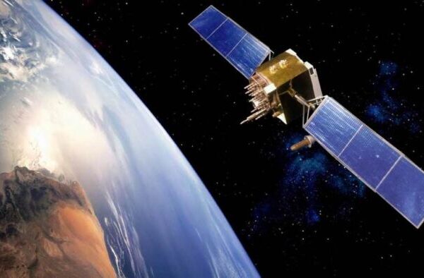
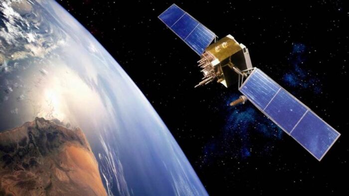
In 2003, Nigeria took a significant leap forward by launching NigeriaSat-1 as part of the global Disaster Monitoring Constellation (DMC). This satellite marked a pivotal moment in the nation’s space program, enabling Nigeria to acquire Earth observation data for development planning and disaster response.
2. Establishment of NCRS
The establishment of NCRS positioned Nigeria as a regional leader in remote sensing. Operating under the National Council on Space Science and Technology, NCRS became a hub for processing and analyzing satellite imagery to address critical national needs.
Mission and Objectives
The primary mission of NCRS is to transform raw satellite data into actionable insights, empowering policymakers and stakeholders to make informed decisions regarding resource management and sustainable development.
Core Objectives
-
Agricultural Development
- Monitor crop health and productivity.
- Plan irrigation and combat food insecurity.
-
Water Resource Management
- Track and optimize the use of water bodies.
- Aid in flood control and watershed management.
-
Forest and Environmental Monitoring
- Combat deforestation and desertification.
- Analyze coastal erosion and promote sustainable forestry.
-
Disaster Management
- Predict, monitor, and mitigate the effects of floods, droughts, and other disasters.
- Provide real-time data for faster response and recovery.
-
Urban and Infrastructure Planning
- Facilitate land use planning and urban development.
- Optimize transportation networks and industrial growth.
-
Capacity Building
- Train local experts in satellite data analysis.
- Foster international collaboration to adopt global best practices.
Policy and Strategic Context
Nigeria’s remote sensing efforts are underpinned by the National Space Policy and Programme, which highlights the importance of satellite technology in achieving sustainable development. The government’s commitment to remote sensing has led to strategic collaborations with global institutions, such as the UK-based Surrey Satellite Technology Ltd. (SSTL), which played a key role in Nigeria’s early satellite development.
Impact and Achievements
1. Advancements in Disaster Management
NCRS provides real-time satellite imagery for monitoring and responding to natural disasters such as floods, droughts, and desert encroachment. These efforts have significantly reduced the socio-economic impact of disasters across Nigeria.
2. Enhanced Agricultural Productivity
Through crop monitoring and soil analysis, NCRS supports food security initiatives, helping farmers increase yields and optimize land use.
3. Environmental Conservation
The center has been instrumental in tracking deforestation, desertification, and other environmental challenges, enabling better policy formulation for sustainable resource management.
4. Indigenous Satellite Development
The success of NigeriaSat-1 and NigeriaSat-2 highlights NCRS’s contribution to the country’s growing satellite capabilities, positioning Nigeria as a key player in the African space ecosystem.
Vision for the Future
NCRS envisions becoming a leader in remote sensing and space applications across Africa. Its long-term focus includes:
- Expanding the use of artificial intelligence (AI) and machine learning (ML) for data analysis.
- Strengthening partnerships with international organizations.
- Enhancing capacity building programs to train the next generation of experts.
- Driving research and innovation to solve complex socio-economic challenges.
Summary
The National Centre for Remote Sensing (NCRS) continues to play a transformative role in utilizing space-based technologies to tackle national and regional challenges. By addressing critical areas such as food security, disaster management, and environmental conservation, NCRS ensures that Nigeria remains at the forefront of leveraging satellite technology for sustainable development.


